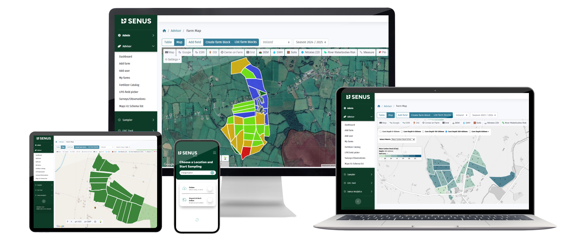
Advanced Geospatial Modelling Capabilities of Our Platform - Informing Sampling Design
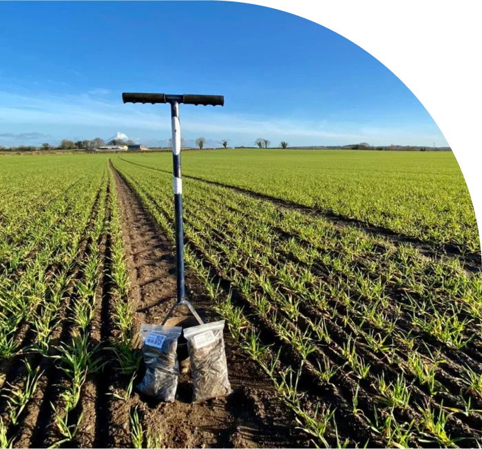
Traditional methods of soil sampling can be both costly and time-consuming. They also provide limited spatial coverage and represent a snapshot in time.
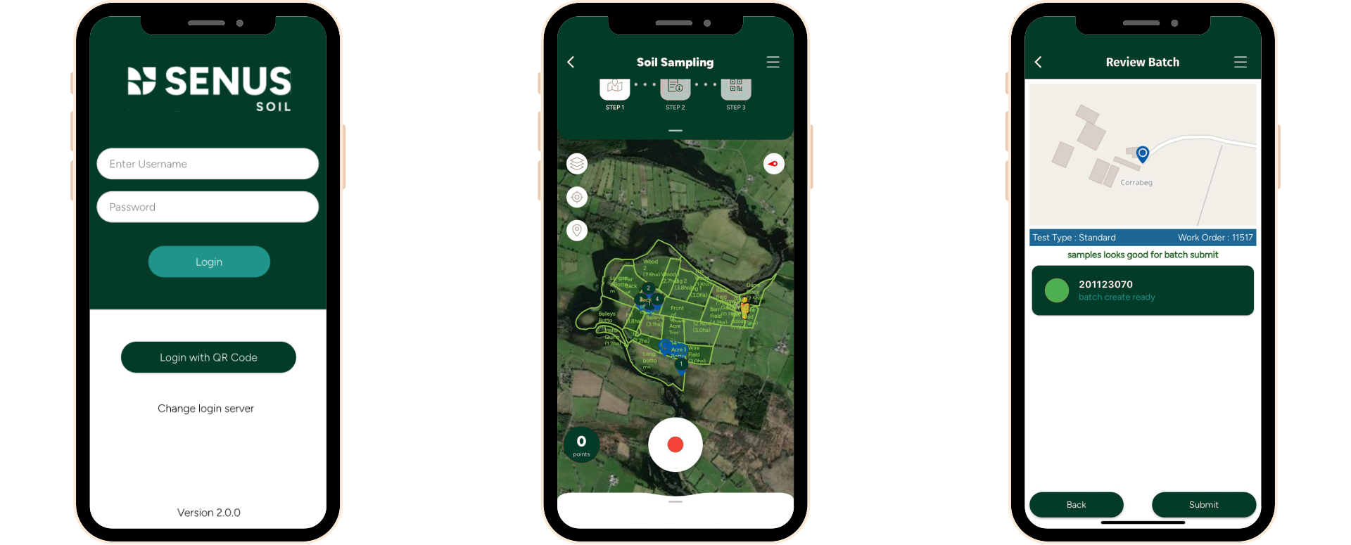
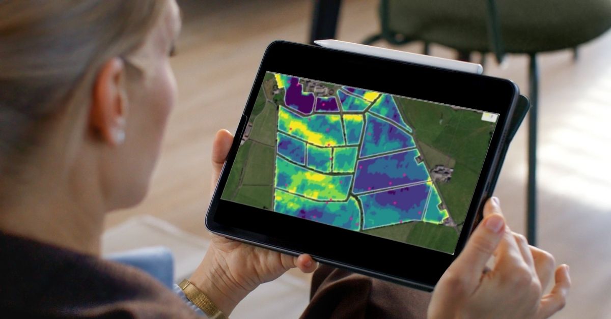
Using geospatial modelling, Senus can optimise where soil samples should be taken, reducing the number of in-field samples needed. This can reduce sample size by up to 50% vs random sampling, without a loss of precision.
If you have previously taken soil samples, these can be used to calibrate the model enabling further reductions in sample size.
Explore More Behind The Methods Here
Advanced Geospatial modelling capabilities of our platform - Predictive modeling
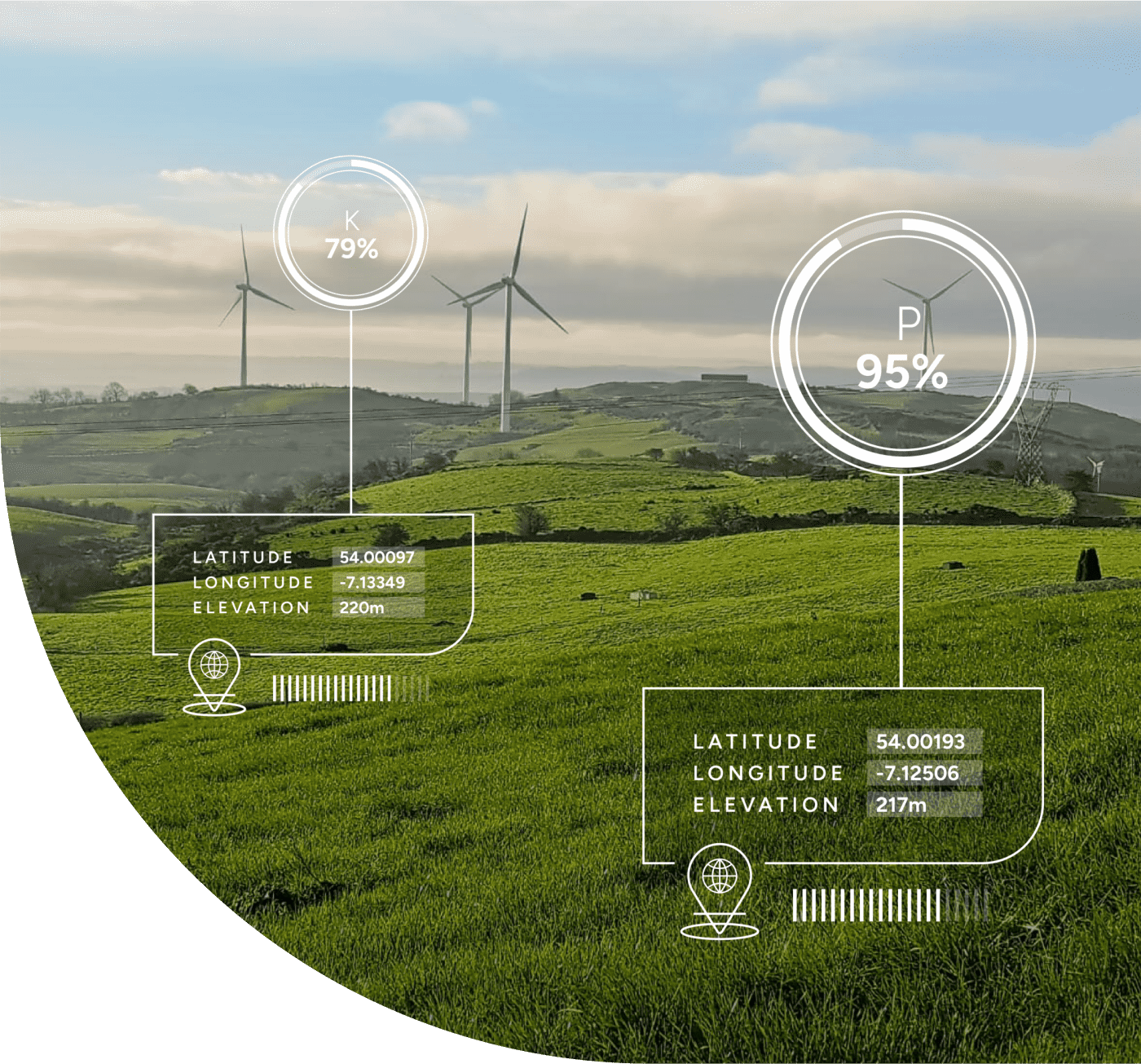
We use statistical modelling and machine learning to enable predictions across time and space, aiding the monitoring of soil changes. These models look for relationships between measured soil properties from soil samples and a set of geospatial predictors, such as slope, elevation, satellite-derived vegetation indices, climate data and more.
Our current soil models have been extensively trained for Europe, the USA, and South America.
Using these pre-trained models, we can predict:
- SOC concentration (g/kg).
- SOC stock (tons/Ha).
- Soil pH.
The models have an uncertainty estimation, allowing us to generate a 95% prediction interval. This accounts for spatial auto correlation and enables us to produce an uncertainty estimation at regional (i.e. – farm) level, which is vital for carbon accounting.